
Florence Historic Center Isolated 3D City Map
- Digital7,900 JPY


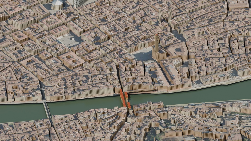
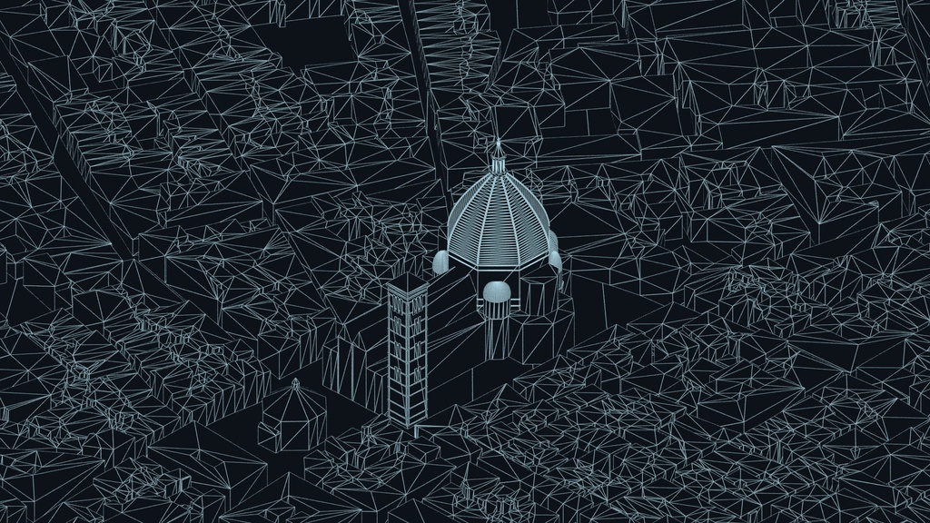
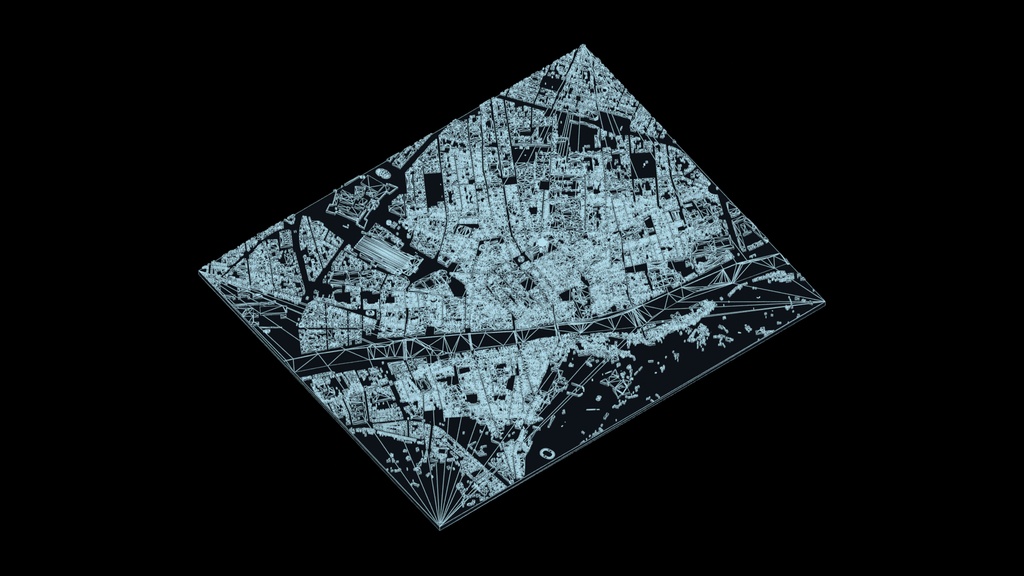
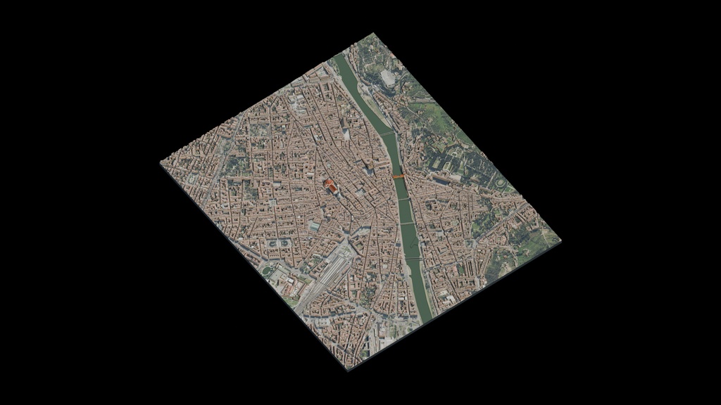
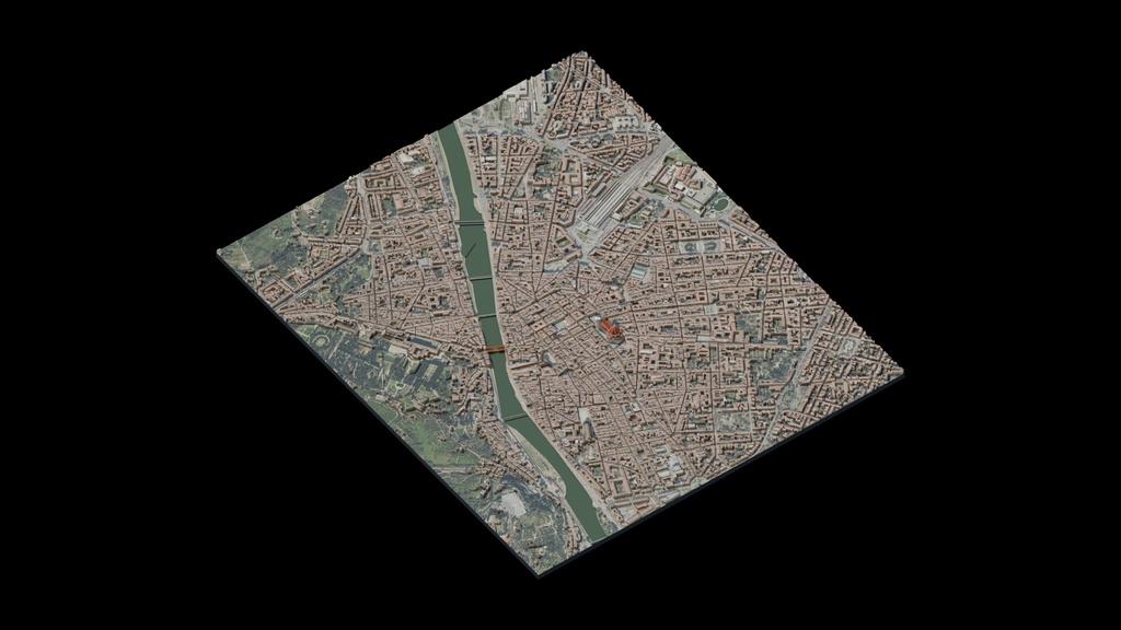
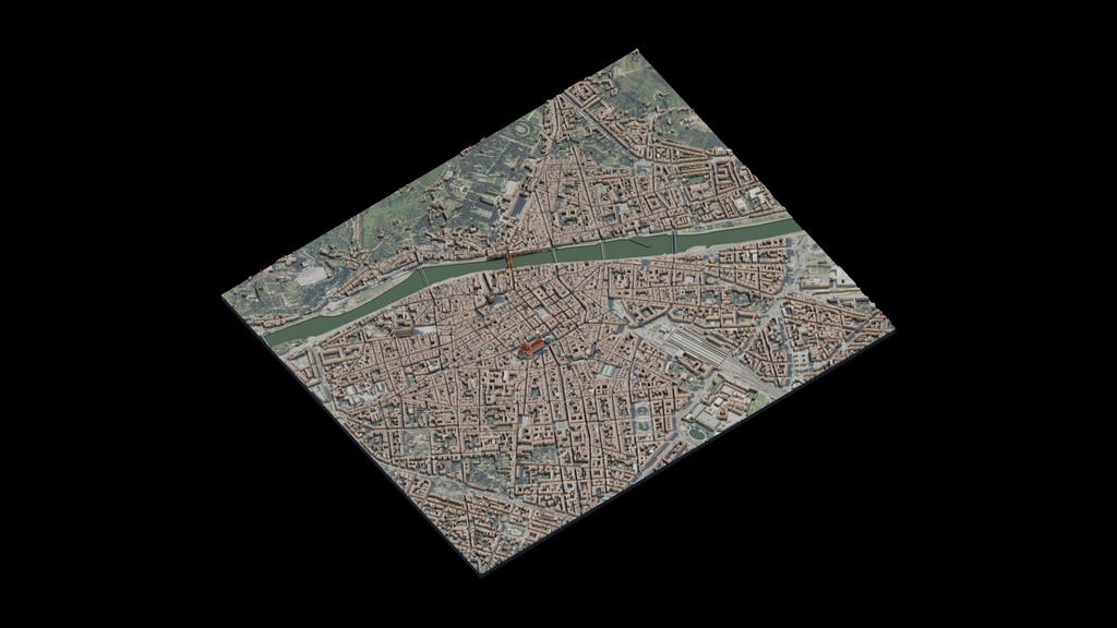


Isolated Florence historic center and Arno 3D city map for news graphics, geographic visualization and wide views. Approximately 7.08 sq km, not the entire municipality. Simplified buildings and flat ground, not survey-grade or exact architectural reconstruction. Includes packed Blender, Cinema 4D, FBX, OBJ/MTL and GLB, six beauty views, two wireframes and a 30-frame PNG turntable. Interchange exports use 1:100 display scale; multiply uniformly by 100 to restore native size. Partial/mixed UV coverage; exported materials and lighting may differ from previews. Evaluated export: 156,010 polygons and 176,182 vertices. Toscana ground imagery under CC BY 4.0. Map data: OpenStreetMap contributors under ODbL. Retain included attribution and source notices.