
San Diego Isolated 3D City Map
- ダウンロード商品¥ 7,900
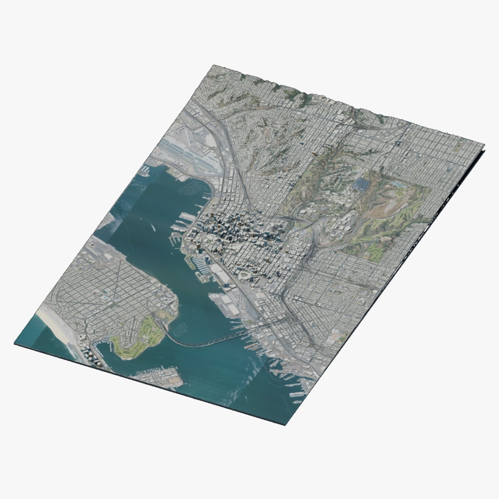
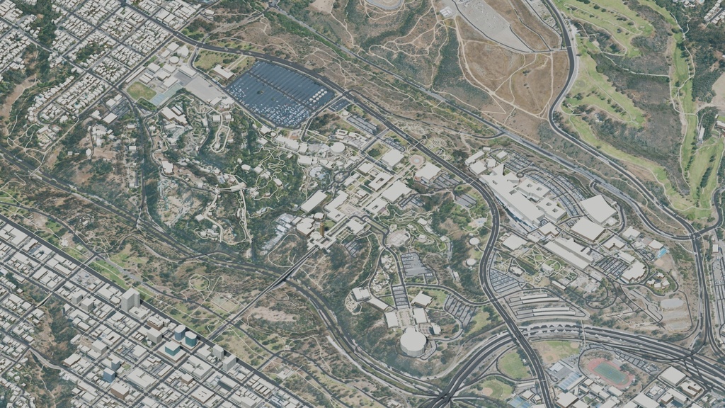
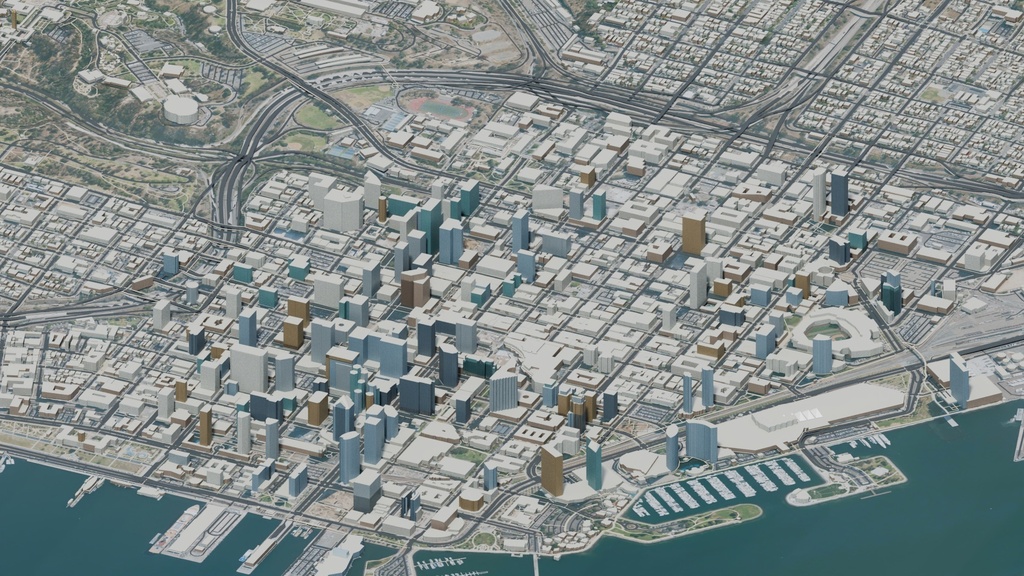
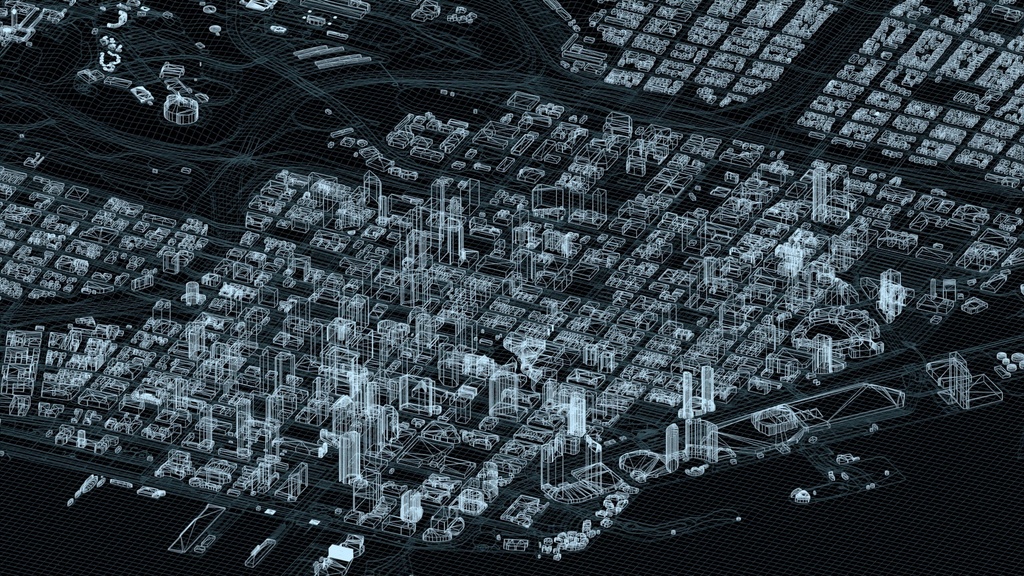
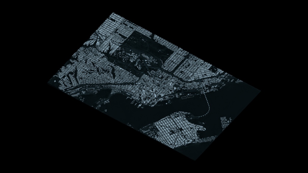
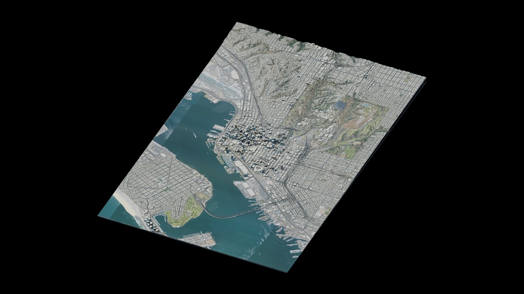
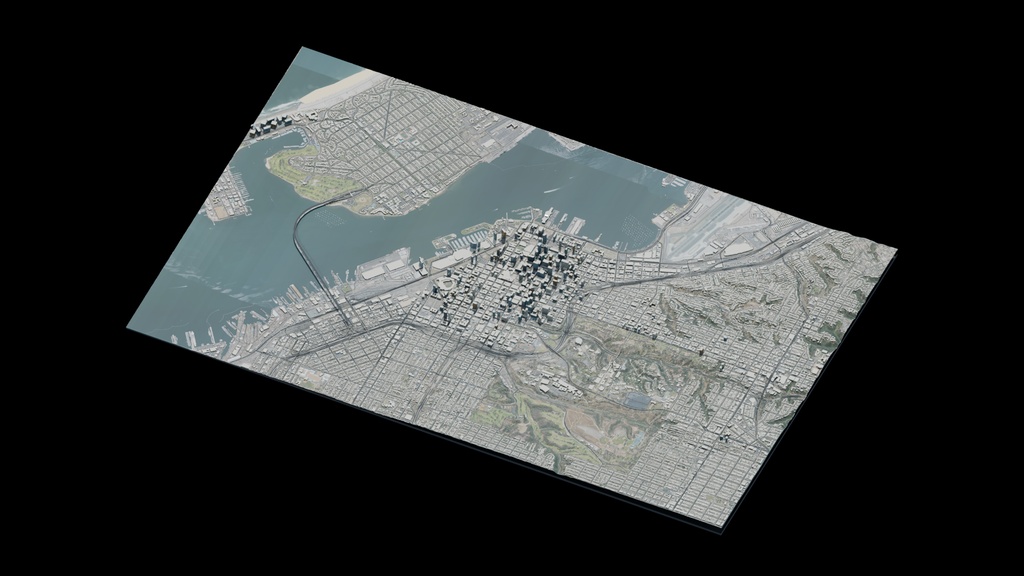
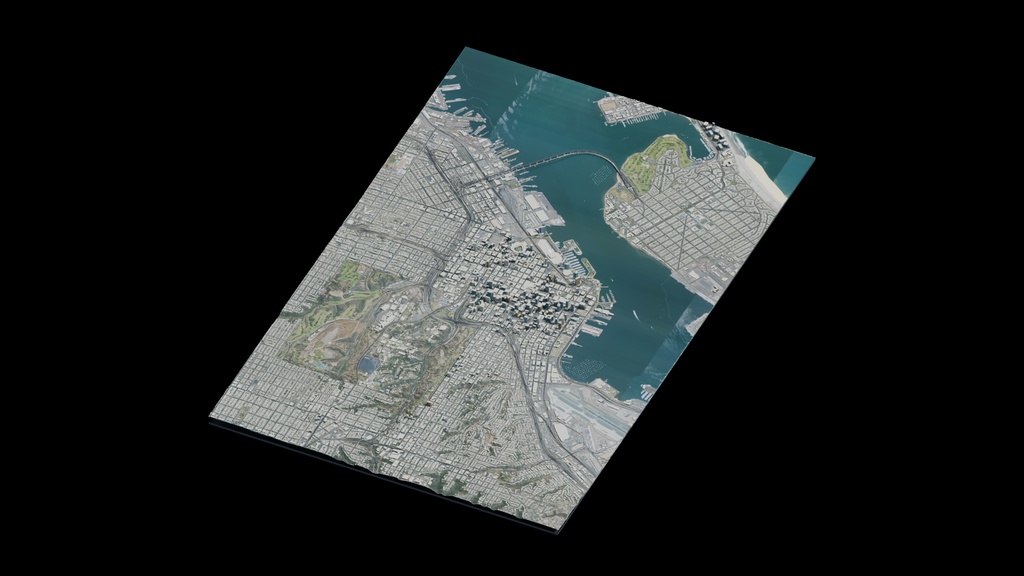
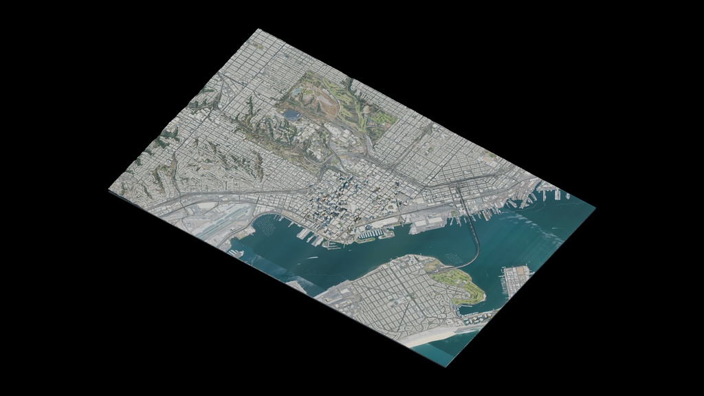


Isolated San Diego downtown, bayfront, Coronado Bridge and Balboa Park 3D city map for news graphics, geographic visualization and wide views. Simplified buildings and terrain, not survey-grade or exact architectural reconstruction. Includes packed Blender, Cinema 4D, FBX, OBJ/MTL and GLB, six beauty views, two wireframes and a 30-frame PNG turntable. Interchange exports use 1:100 display scale; multiply uniformly by 100 to restore native size. Partial/mixed UV coverage; procedural facades and approximate landmarks. Exported materials and lighting may differ from previews. Evaluated export: 567,402 polygons and 840,931 vertices. USGS/USDA NAIP public-domain ground imagery. Map data: OpenStreetMap contributors under ODbL. Retain included attribution and source notices.