
Hong Kong Isolated 3D City Map
- ダウンロード商品¥ 7,900
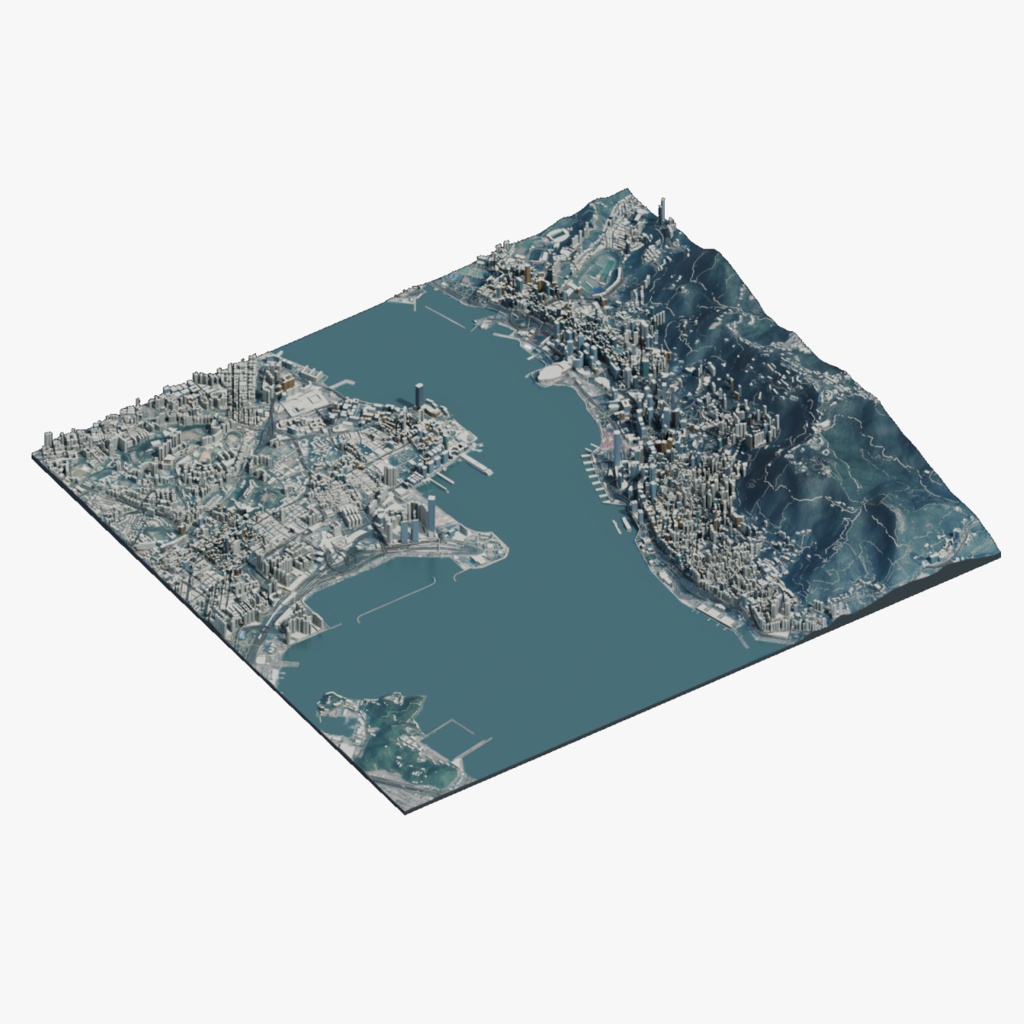

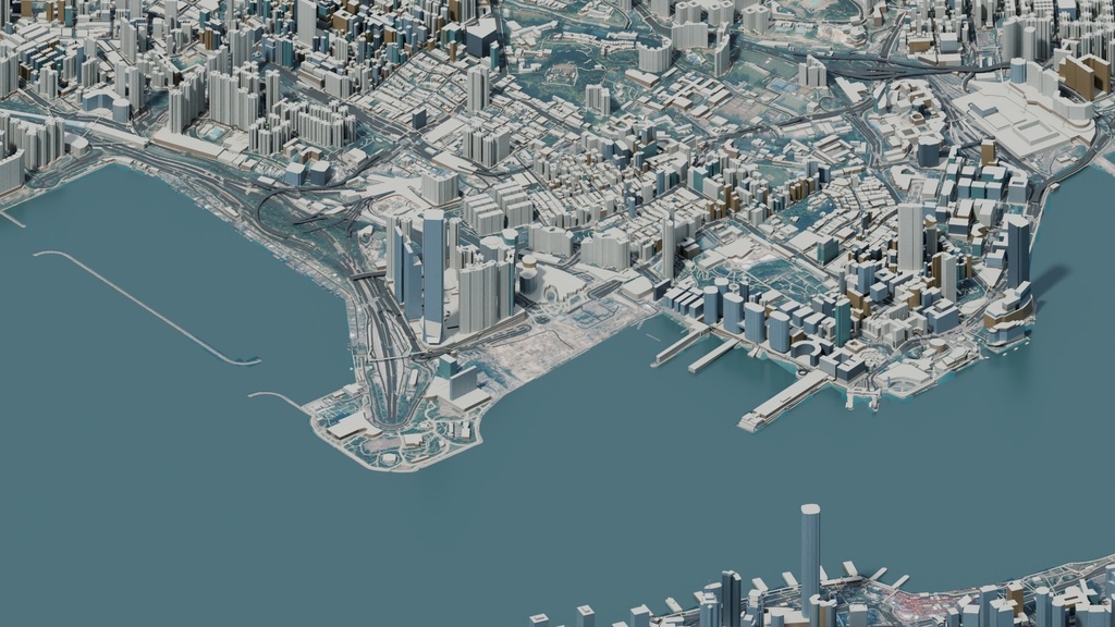
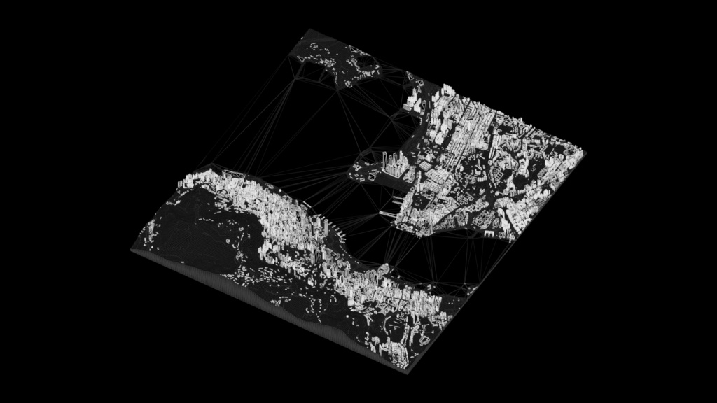
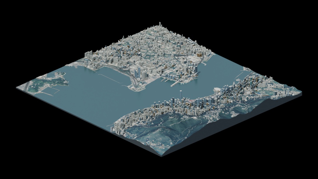


Isolated Hong Kong harbour-area 3D city map for news graphics, geographic visualization and wide views. Approximate 41.13 sq km scene, not all Hong Kong. Simplified buildings and procedural facades, not an architectural survey. Includes packed Blender, Cinema 4D, FBX, OBJ/MTL and GLB, six beauty views, two wireframes and a 30-frame PNG turntable. Interchange exports use 1:100 display scale; multiply uniformly by 100 to restore native size. Partial/mixed UV coverage; exported materials and lighting may differ from previews. Evaluated export: 752,345 polygons and 767,283 vertices. Aerial Photograph from Lands Department, copyright Government of the Hong Kong Special Administrative Region, via CSDI Portal. Retain the Lands Department logo/credit on renders and included source notices. Map data: OpenStreetMap contributors under ODbL; terrain Mapzen/SRTM courtesy USGS. See included notes for source terms and attribution requirements.