
Santorini Caldera Archipelago Isolated 3D Map
- Digital7,900 JPY
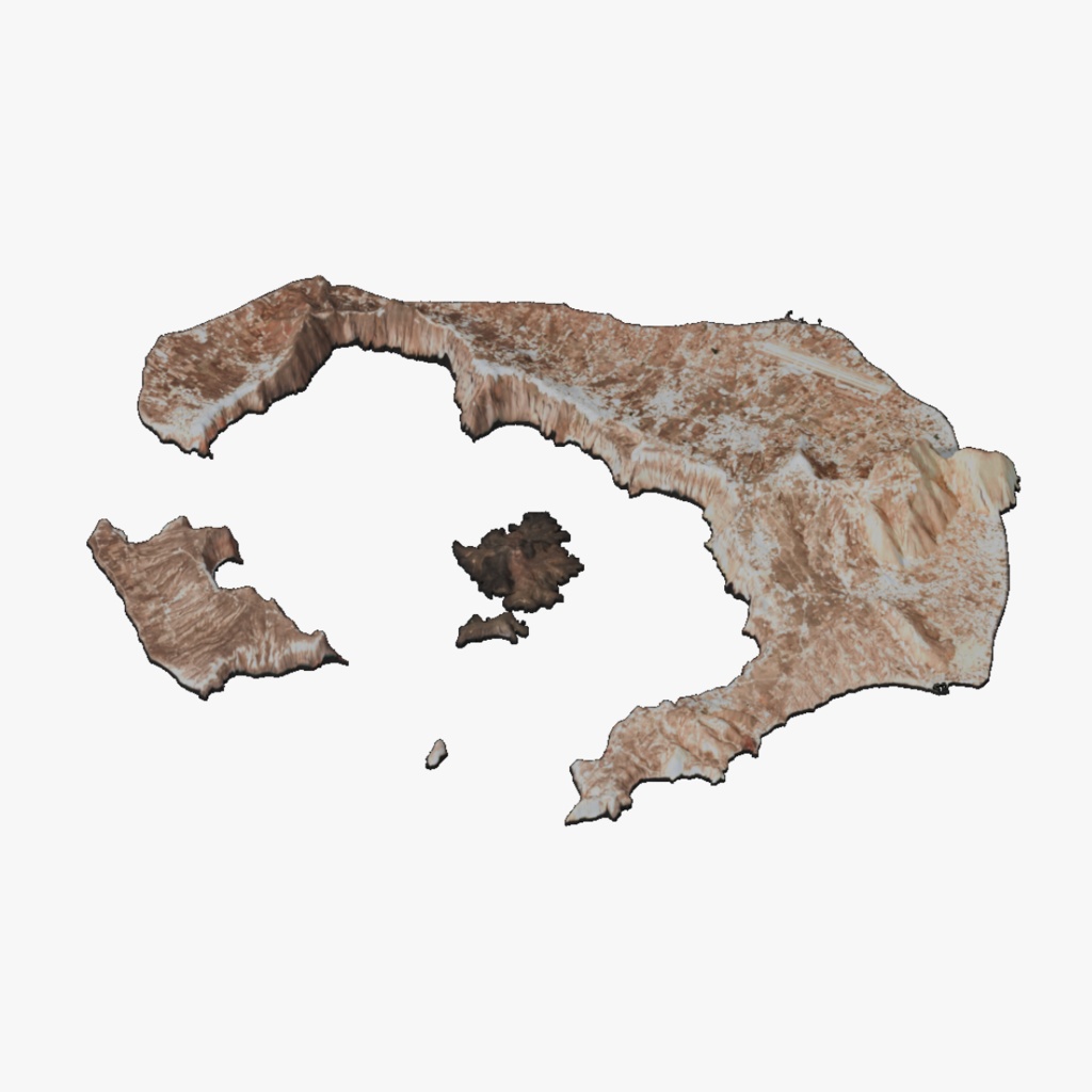
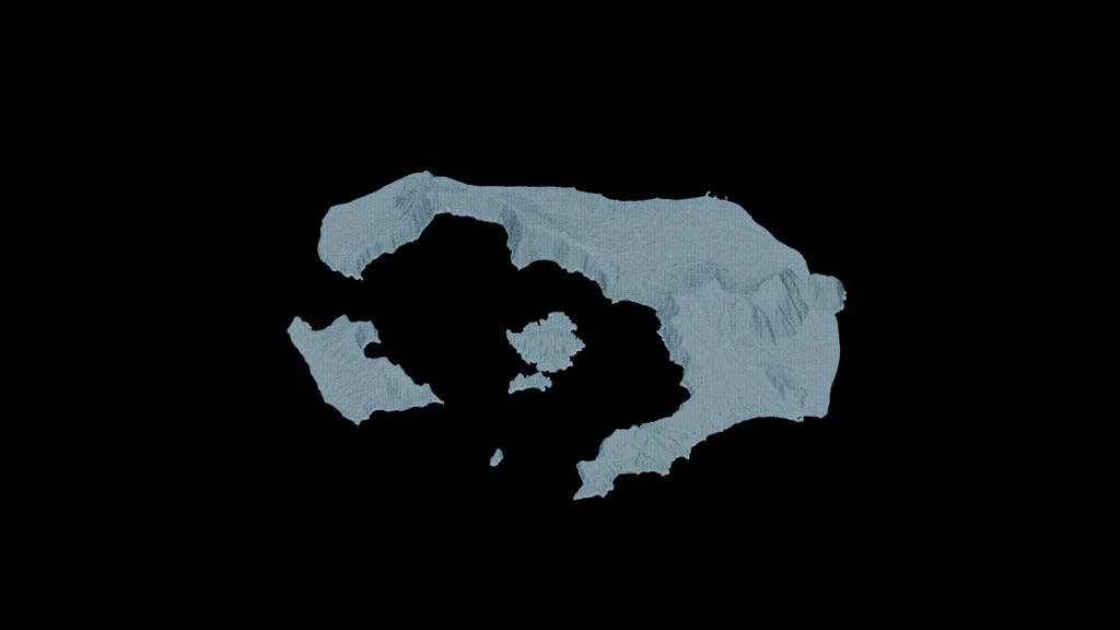
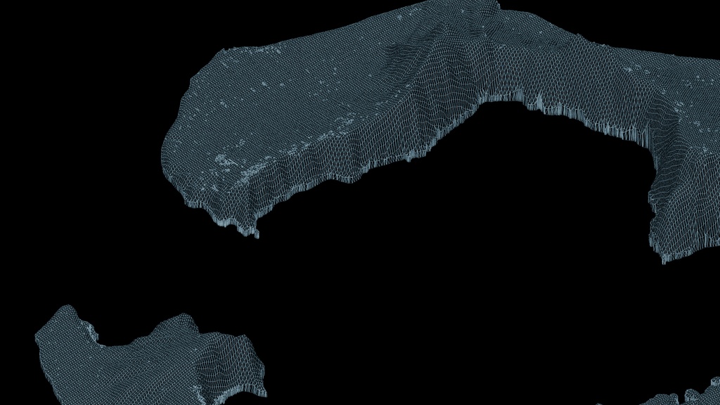
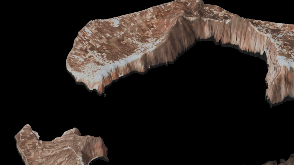
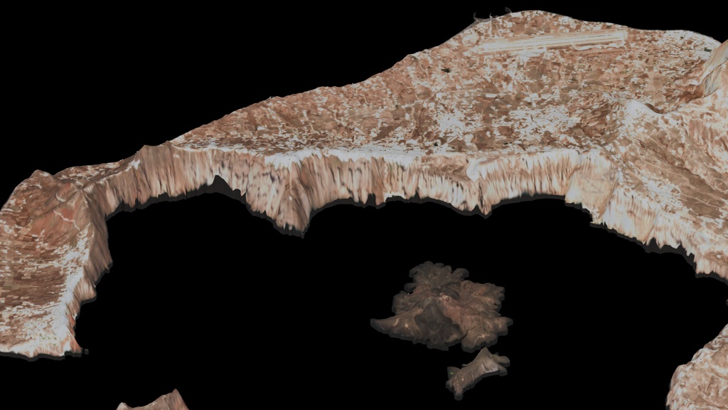
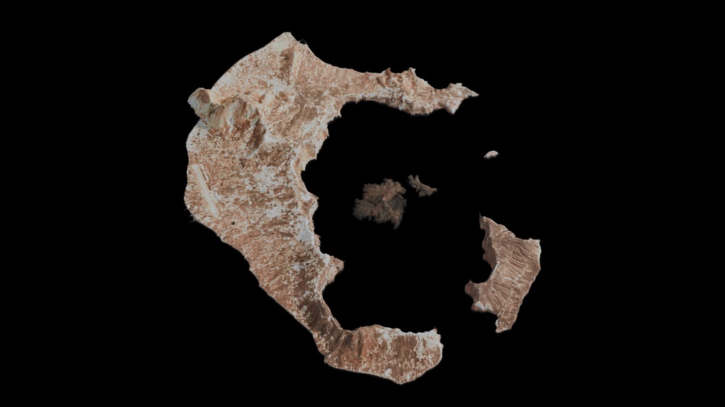
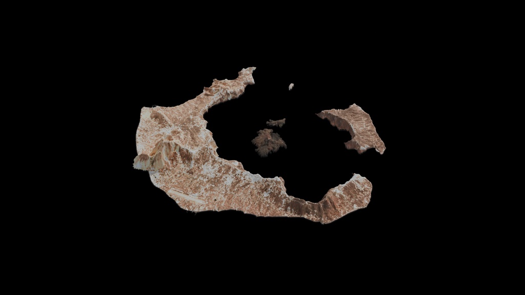
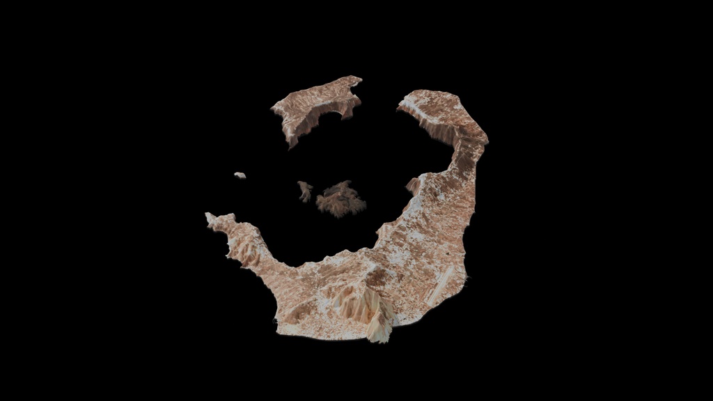
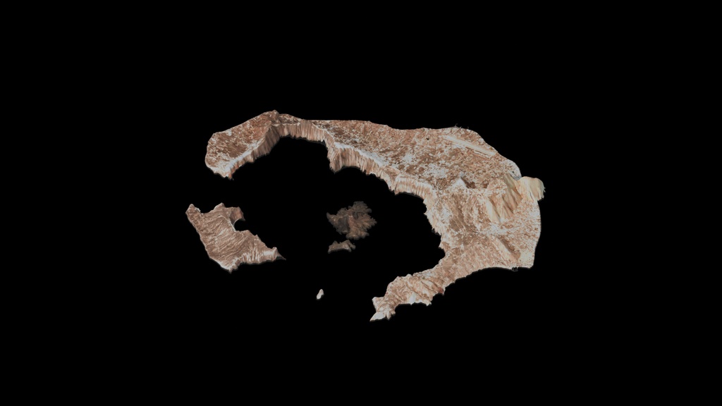


Isolated Santorini caldera archipelago 3D map for news graphics, geographic visualization and wide views. Editable island terrain and low-detail mapped building massing, not survey-grade or individual architectural reconstruction. Default presentation terrain relief is 3x; native Blender includes RELIEF CONTROL for real-scale terrain. Includes packed Blender, Cinema 4D, FBX, OBJ/MTL and GLB, six beauty views, two wireframes and a 30-frame PNG turntable. Interchange exports use 1:100 display scale; multiply uniformly by 100 to restore native size. Partial/mixed UV coverage; exported materials and lighting may differ from previews. Evaluated export: 245,412 polygons and 274,278 vertices. Contains modified Copernicus Sentinel data 2025 (10m imagery) and Copernicus GLO-30 elevation. Coastline/buildings: OpenStreetMap contributors under ODbL. Retain all included attribution, source notices and Copernicus notices.