
Tehran Isolated 3D City Map
- Digital7,900 JPY
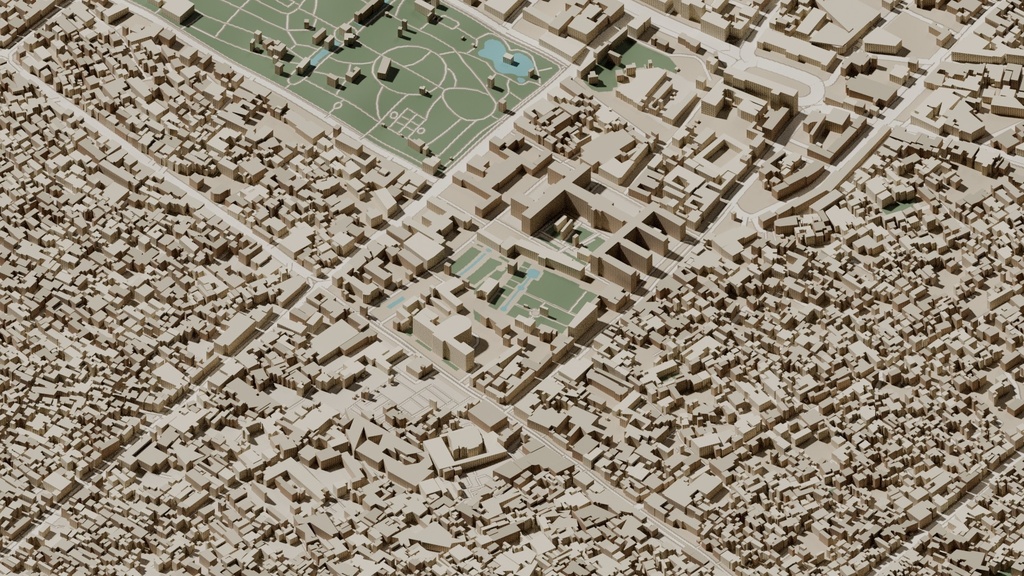
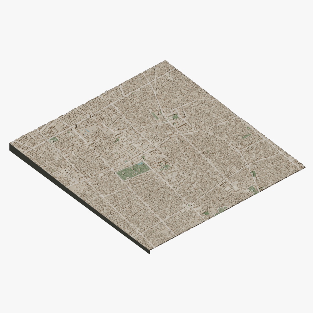
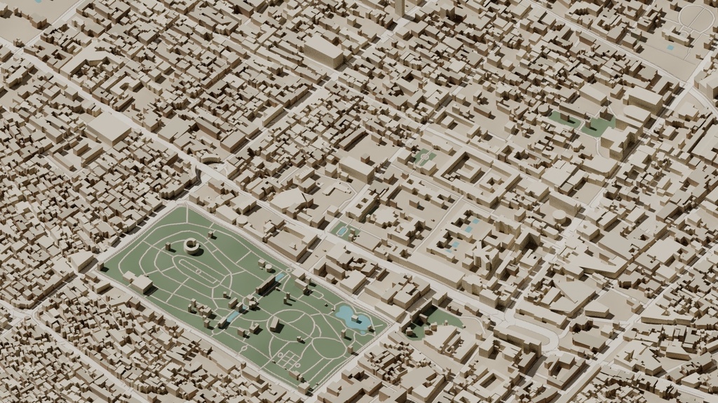
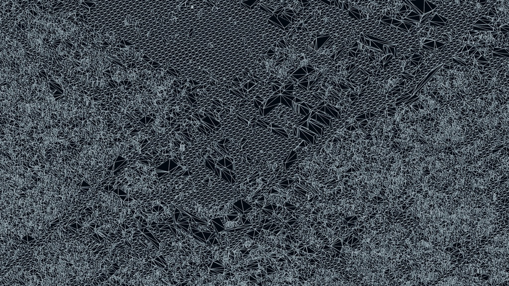
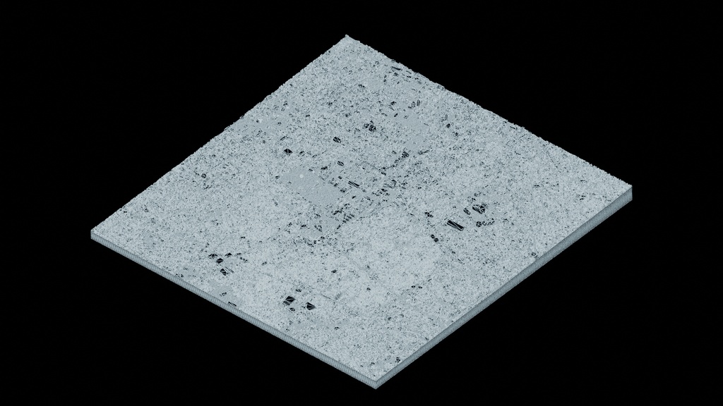
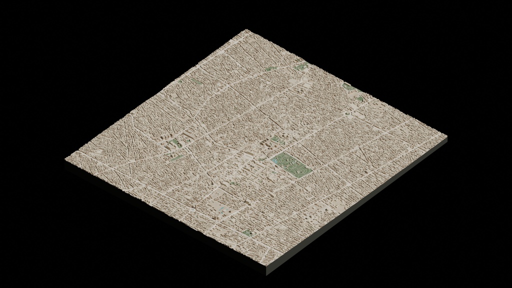


Isolated 3D city map of Tehran historic centre, prepared for architectural visualization, motion graphics and city scenes. Includes Blender, Cinema 4D, FBX, GLB and OBJ packages plus a turntable preview. Native geometry: 447,463 polygons / 966,901 vertices. Materials included, with an original cartographic ground texture, not aerial photography. UV mapping is partial rather than a fully unwrapped asset. Native Blender uses metric scene scale. OBJ and GLB use 1:100 of native Blender coordinates; multiply by 100 to restore native size. Interchange files use Y-up; native Blender is unchanged. Export triangulation and split vertices can change displayed counts. Approximate geographic visualization, not a survey model. Source credits: OpenStreetMap contributors (ODbL); Microsoft building footprints (CDLA-Permissive 2.0). Retain all source attribution and license notes provided in the package.